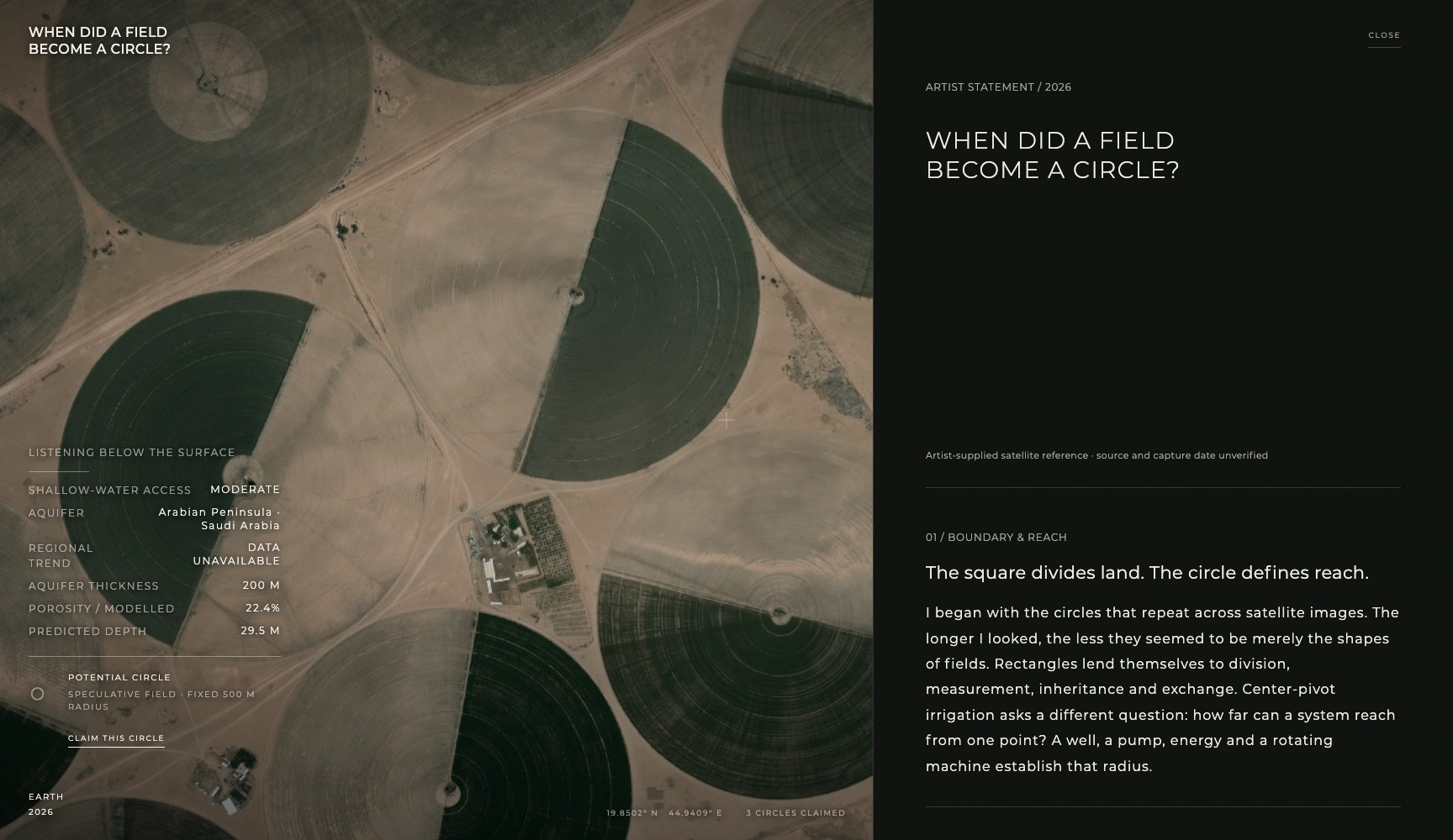
WHEN DID A FIELD BECOME A CIRCLE?
I begin with a question: when does a field become a circle—when a machine rotates, when crops grow, or when a satellite sees it? Through satellite imagery, groundwater models and environmental data, the work asks how an invisible resource becomes a visible geometry, and when watching becomes caring.
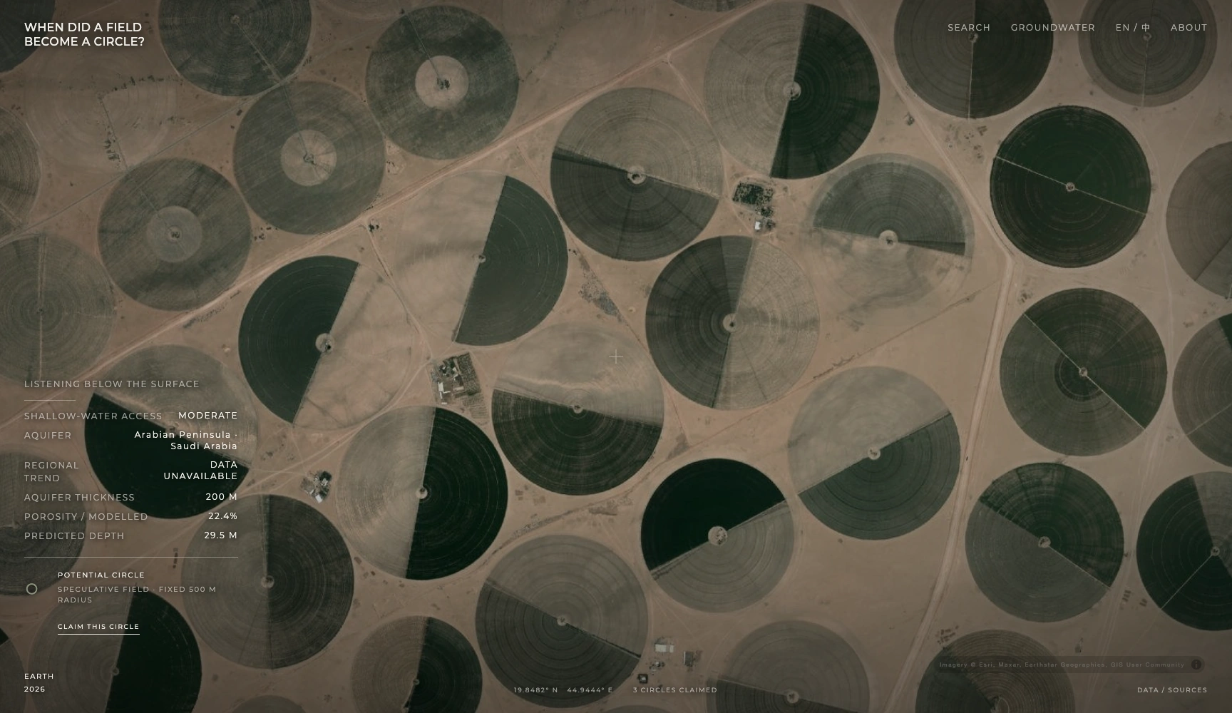
The circle defines reach
I see these circles as spaces made by infrastructure. A well brings an irregular aquifer to the surface; a pump, energy and a rotating machine establish a radius. The circumference records the reach a system can sustain. From within the field, we encounter plants and equipment; its complete geometry appears at a distance.
A coordinate in a shared Earth
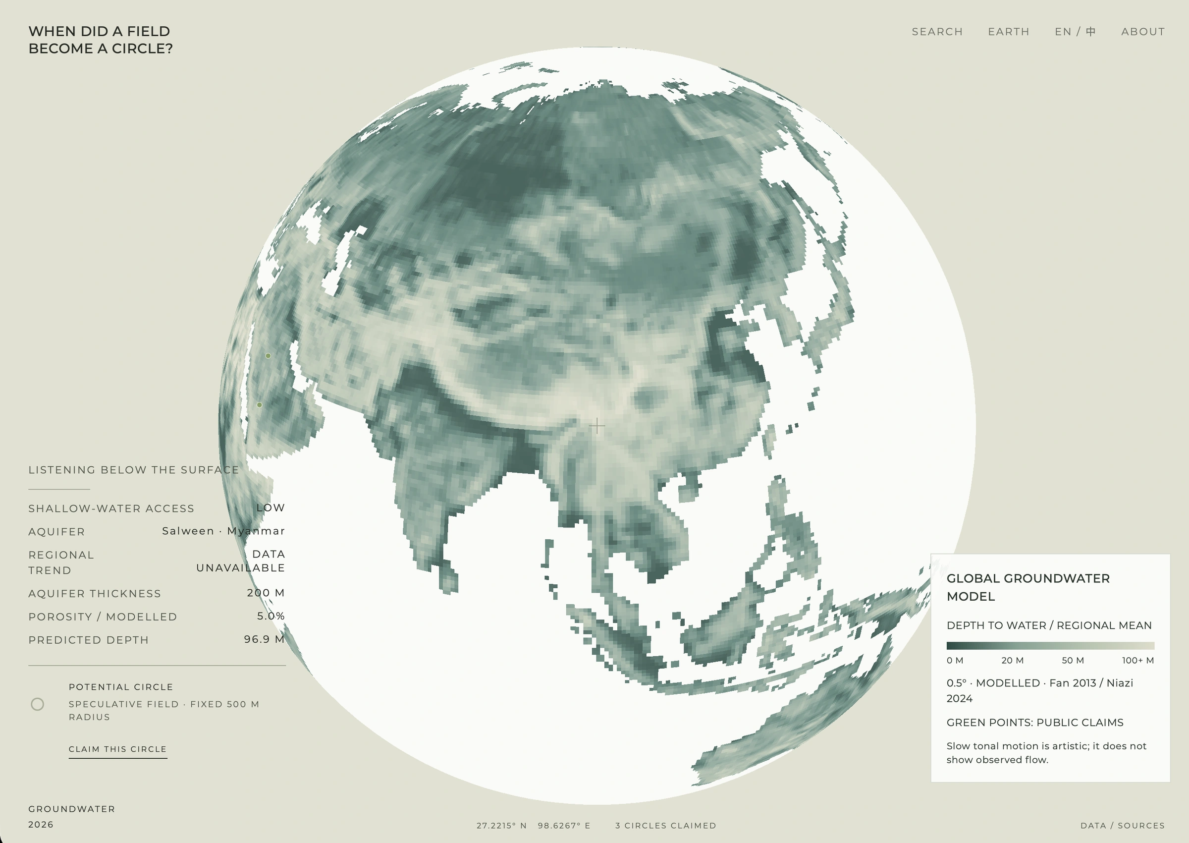
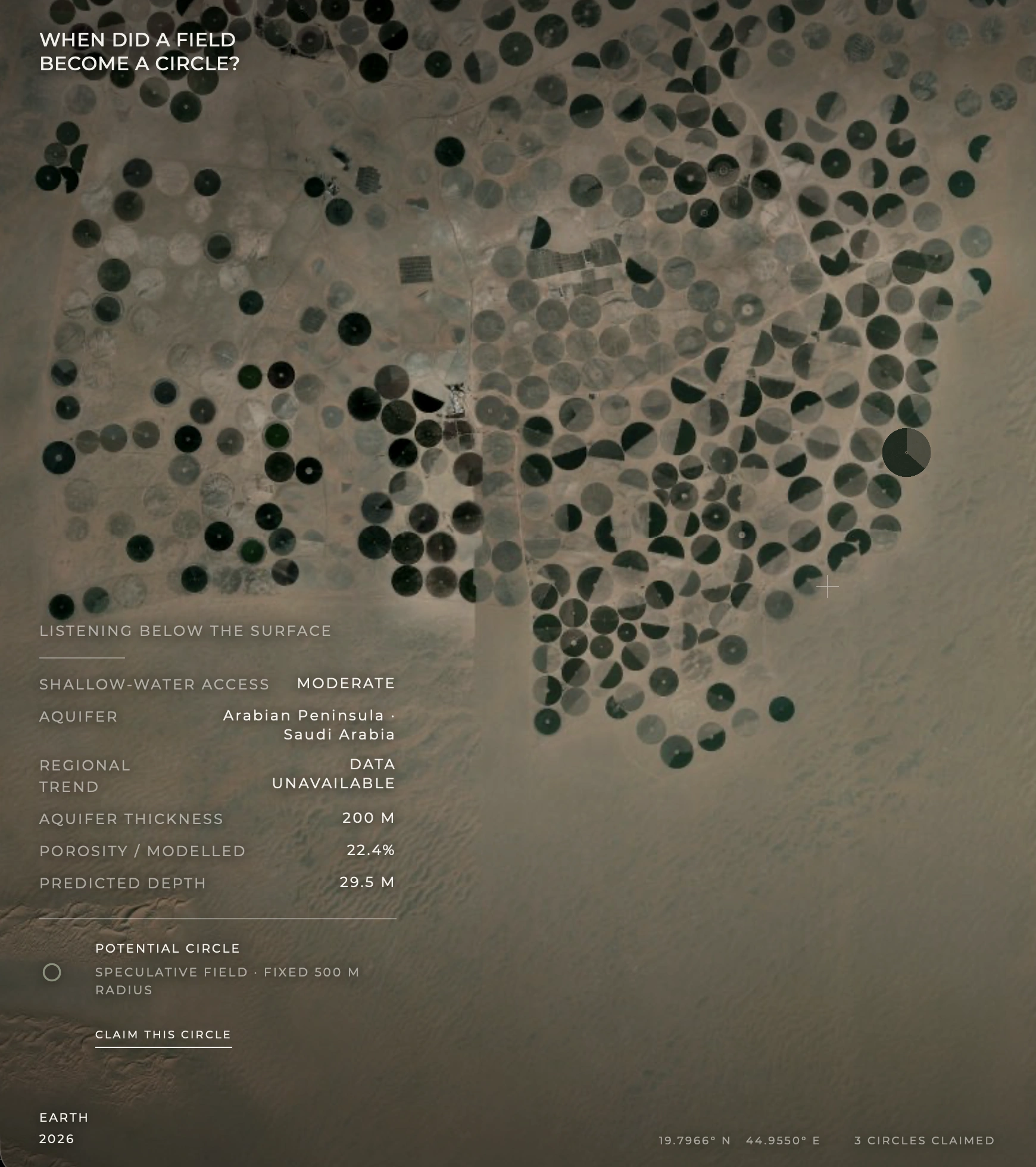
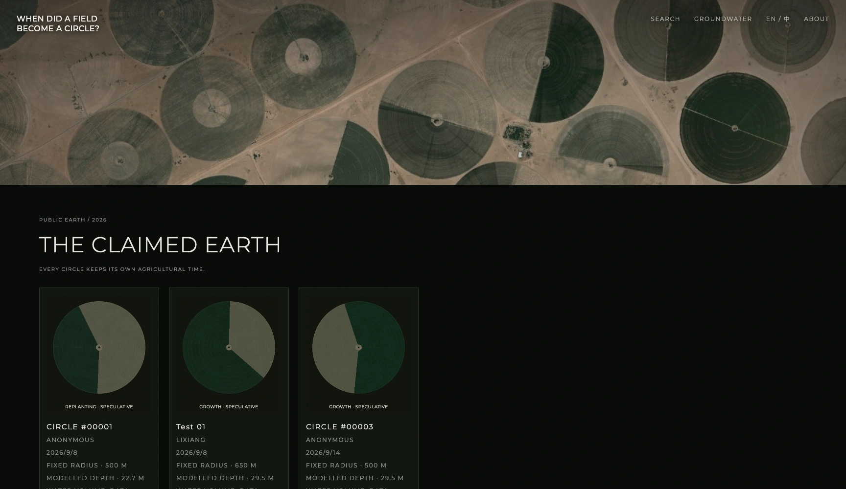
Visitors search beneath the visible landscape and leave a persistent circle in the public archive. The act concerns a coordinate rather than land ownership. Each field carries a location, a beginning and an environmental memory; together they change the Earth of the artwork through repeated attention and the passage of time.
Water and agricultural time
Global Groundwater Dataset, Open-Meteo and Esri World Imagery bring subsurface models, weather and surface imagery into relation. Modelled water-table depth speaks at a regional scale. Growth, harvest, dormancy and replanting unfold as speculative agricultural time, inviting a brief overhead glance to become sustained attention to a place.